 Serving Phoenix, Arizona Maricopa County & Surrounding Areas
 FAA Part 107 Certified | Fully Insured
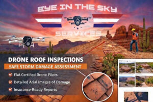
Claim-Ready Roof Inspections
High-resolution drone inspections designed for roofing contractors, insurance adjusters, and restoration companies.
Key Features:
Storm damage documentation (hail, wind)
Date-stamped aerial imagery
Ladder-free, safe inspections
Branded PDF inspection reports
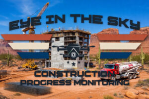
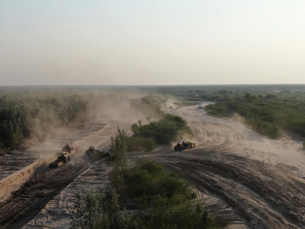
Construction Progress Monitoring
Visual documentation that tracks construction progress from ground break to completion.
Key Features:
Weekly / monthly drone flights
Milestone verification
Lender & investor reporting
Optional construction timelapse
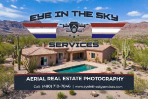
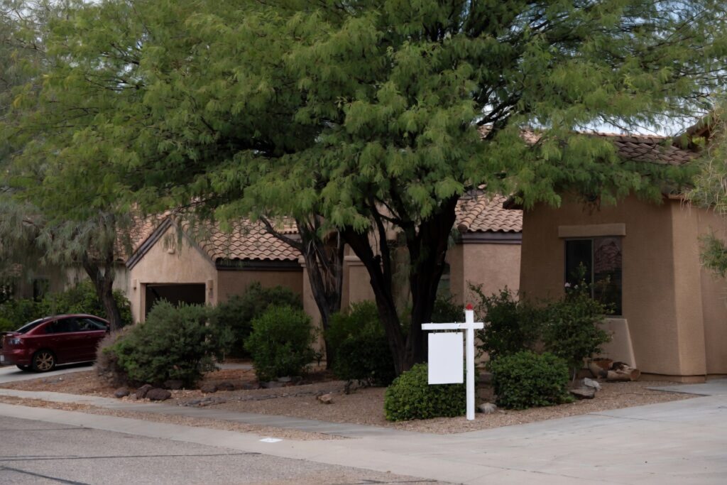
Aerial Media That Sells
Professional drone photos and video that elevate listings and attract buyers.
Key Features:
Listing-ready aerial photos
Cinematic drone video
Land & acreage coverage
Fast turnaround
Fast. Accurate. Insurance-Ready Documentation.
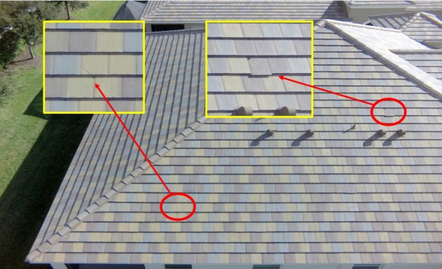
Not all drone inspections are created equal. Many providers simply fly a drone, grab a few photos, and send them over with little context. At Eye In The Sky Services, our aerial roof inspections are designed to deliver actionable, professional-grade documentation—not just pictures.
Kindly contact us should you have any questions or inquiries. We are more than willing to assist our clients prior to or following media distribution. Should you have any specific requests, including additional services such as social media management, web development, or further media editing, please do not hesitate to reach out to us. We are eager to address your concerns and provide you with reassurance. This approach not only distinguishes Eye In The Sky Services from our competitors but also ensures all clients receive exceptional support.
Anyone can buy a drone—not everyone is legally or professionally qualified to fly one for inspections. FAA Part 107 Certified Pilot Commercial operations compliant with federal regulations Safety-first flight planning and execution This protects your company, your client, and your claim.
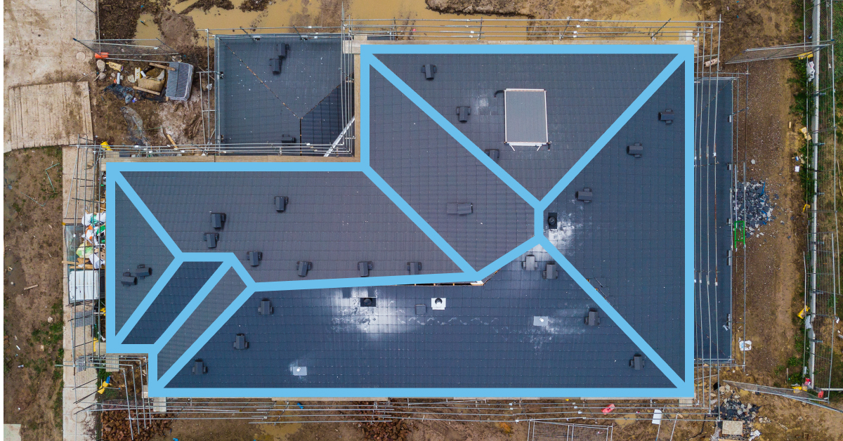
Competitors often deliver a shared folder of random images. We provide organized inspection reports that include: Labeled damage points Clear roof overviews and section breakdowns Before/after or comparison imagery when needed Easy-to-read formatting for claims, estimates, and supplements This saves time, reduces disputes, and speeds up approvals.
We work with roofing companies, insurance professionals, and property managers—not against them. Our goal is to support your workflow, improve accuracy, and help you close jobs and claims faster.
Aerial construction monitoring gives builders real-time visibility, helping them track progress, spot issues early, and keep projects on schedule and on budget.
Aerial construction monitoring gives builders and architects real-time visibility into their projects with high-quality aerial imagery.
Aerial monitoring provides consistent visual updates that allow teams to measure construction progress, verify milestones, and ensure the project stays aligned with approved plans and schedules.
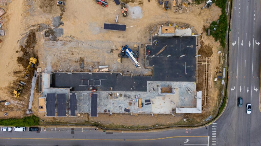
High-resolution aerial views help spot potential problems—such as layout errors, drainage concerns, or site conflicts—before they escalate into expensive fixes or project delays.
Easy-to-understand aerial images and videos keep everyone informed, making project updates more transparent and reducing misunderstandings during decision-making.
Drone inspections eliminate the need for personnel to access hazardous or hard-to-reach areas, reducing on-site risks while still capturing detailed information.
Aerial documentation creates a visual timeline of the project from start to finish, supporting compliance requirements, resolving disputes, and showcasing completed work for marketing purposes.
Professional drone imagery sells faster by giving buyers the full story at a glance.
We have a strong background in Information Technology, Web Development, and Media Editing. We are quite different than traditional photographers.
Aerial imagery highlights property boundaries, acreage, outdoor features, and surrounding areas, giving buyers a clear understanding of the home’s full footprint and value.
Drone photography and cinematic video showcase scale, architecture, privacy, and premium features, presenting luxury properties with the level of sophistication buyers expect.
Aerial views provide valuable context by capturing building layout, parking, access points, and surrounding infrastructure—ideal for investors, tenants, and commercial buyers.
Drone visuals clearly display lot size, topography, access, and development potential, helping buyers and investors visualize possibilities that are difficult to see from the ground.
We specialize in high-impact aerial photography and video that elevates real estate listings on platforms such as Zillow, MLS, and Realtor.com, helping properties stand out and attract serious buyers. For roofing professionals and insurance claims, we deliver detailed aerial roof inspections that capture storm damage, wear, and structural concerns—reducing the need for risky manual inspections.
Our construction progress monitoring services offer consistent, time-stamped aerial documentation and progress reports, allowing builders, developers, and project managers to track milestones, improve communication, and maintain accurate records from groundbreaking to completion. We also provide precise property mapping and orthomosaic image stitching, delivering accurate, measurable visuals for planning, verification, and documentation.
As an FAA Part 107 certified drone pilot, Eye In The Sky Services ensures safe, compliant, and reliable operations on every project. Whether showcasing a property, documenting a roof inspection, or monitoring construction progress, we deliver clear visuals, fast turnaround times, and professional reporting you can trust.
Reach out to us for any questions you have for your business projects that require aerial services. We guarantee any quote you received prior to speaking to us will be up to 10 % less than what our competitors provided for you.
Follow us on social media! Keep up to date with news, and our recent aerial projects.